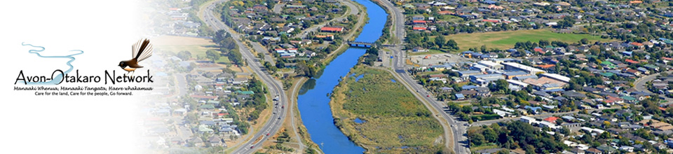
Christchurch residential red zone map (our original vision map): This map shows the residential red zone around the Avon River, Christchurch. You can also download a higher-resolution PDF.
This map of the residential red zone includes images.
Eastern Vision's Map of Community Aspirations is derived from the 2014 EVO::SPACE consultation.
CERA has an online detailed Christchurch land zones map showing all the city.
Christchurch City Council has produced a map of its flood management areas.
And this map from Christchurch City Library shows the swamp and vegetation coverage of Christchurch in 1856.
This interactive map provides an historical record of the urbanisation of Christchruch.
If you know of another useful map we can link to, please let us know.